 Writer
Updated for 2026. Ladakh is not one road but a network of mountain passes linking the Indus Valley with Nubra, Pangong, Changthang, Zanskar, Kargil, Kashmir and the Manali approach. For travellers, the useful question is not “Which pass is highest?” but which pass connects my route, how high will I climb, what can change on the road, and do current access rules allow the journey?
This local road guide turns the old “ten passes” roadbook into a practical map of the crossings that shape a Ladakh itinerary. Heights below are approximate: signboards, surveys and mapping sources do not always agree, and road access can change with weather, maintenance and security restrictions.
Mountain passes of Ladakh: quick comparison
| Pass | Approx. altitude | Main route or role | What it connects |
|---|---|---|---|
| Zoji La | 3,528 m / 11,575 ft | Srinagar–Leh approach | Kashmir side with Drass–Kargil–Ladakh |
| Namika La | 3,700 m / 12,139 ft | Kargil–Leh highway | Mulbekh side with the Lamayuru–Leh corridor |
| Fotu La | 4,108 m / 13,478 ft | Kargil–Leh highway | The Lamayuru sector on the Srinagar–Leh road |
| Khardung La | about 5,359 m / 17,582 ft* | Leh–Nubra | Indus Valley with the Shyok–Nubra side |
| Wari La | over 5,180 m / 17,000 ft | Sakti–Agham route | Leh/Pangong side with Nubra by an alternative crossing |
| Chang La | about 5,360 m / 17,585 ft | Leh–Tangtse–Pangong | Leh side with the Pangong approach |
| Nakee La | about 4,739 m / 15,547 ft | Manali–Leh highway | Sarchu–Pang corridor with the higher Ladakh plateau |
| Lachulung La | about 5,059 m / 16,598 ft | Manali–Leh highway | The Nakee La–Pang section |
| Tanglang La | about 5,328 m / 17,480 ft | Manali–Leh highway | More Plains with the upper Indus approach to Leh |
| Baralacha La | about 4,850 m / 15,910 ft | Manali–Leh approach | Lahaul with the Sarchu side |
| Pensi La | about 4,400 m / 14,436 ft | Kargil–Suru–Zanskar | Rangdum/Suru side with the Zanskar basin |
| Umling La | 5,799 m / 19,024 ft | Eastern Changthang | A very high road in the Hanle–Demchok border region |
*Khardung La is a good example of why altitude figures need a note: older signboards and some official references use 18,380 ft, while modern mapped elevations are commonly around 5,359 m. Treat pass heights as route-planning context, not a contest measured to the last metre.
2026 record update: Mig La has changed the “highest road” story
For years, travellers heard three different versions of the same claim: first Khardung La was called the world’s highest motorable road; later Umling La took the record at 19,024 ft; now the Border Roads Organisation says a road at Mig La, 19,400 ft (about 5,913 m), has surpassed Umling La.
There is an important distinction for travellers. A record-setting road in a sensitive border region is not automatically the same thing as an ordinary tourist road. Ladakh’s official tourism website still presents Umling La as the world’s highest motorable pass, while the Government of India’s 2026 BRO infrastructure material identifies Mig La as the newer record holder. The sensible way to read this is: Mig La is the current BRO altitude record; Umling La remains the famous high-road destination travellers know, but access to any remote eastern route must be checked under current rules before departure.
Records change. Your route plan should not be built around a superlative.
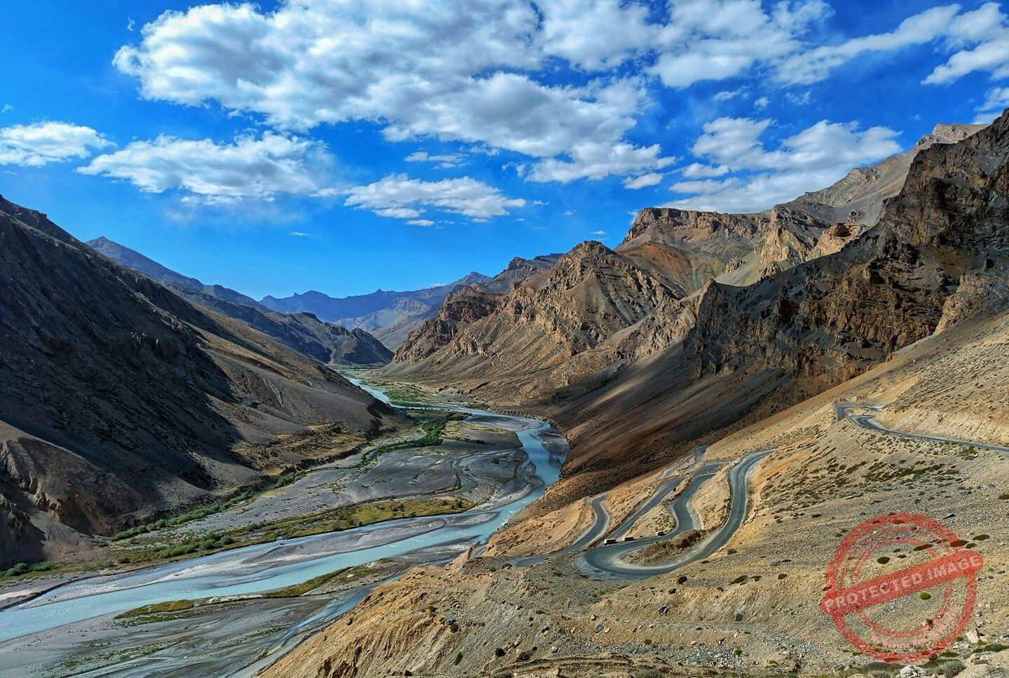
Which pass connects which route?
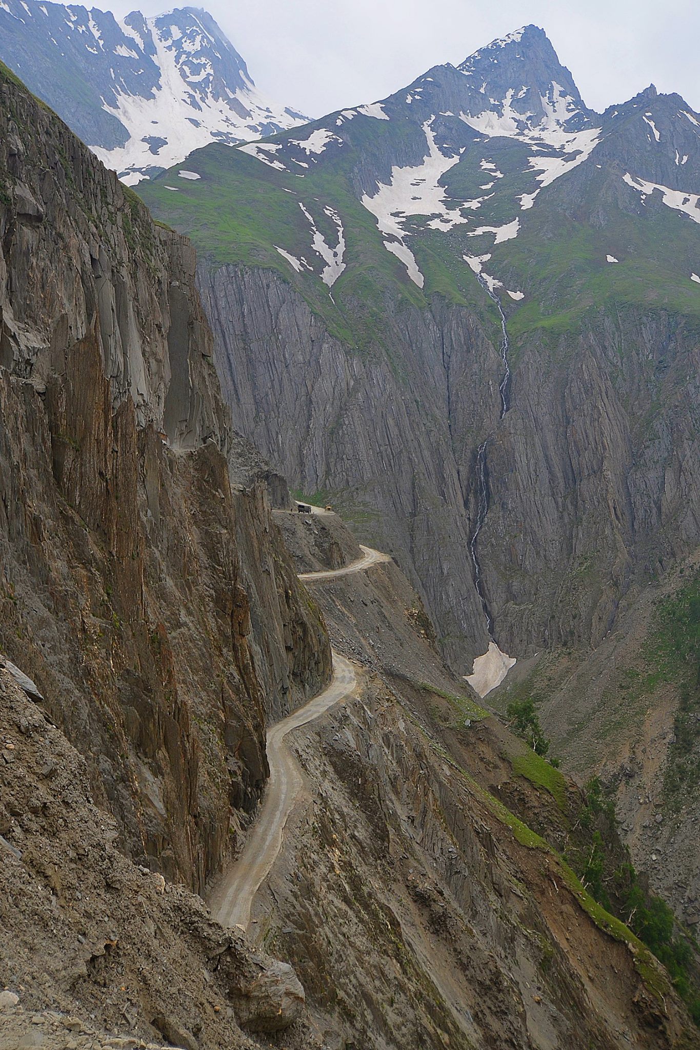
Zoji La: the western gateway from Kashmir
Zoji La is the first major threshold for travellers entering Ladakh by the Srinagar road. It is lower than the famous passes around Leh, but it matters enormously because it controls the transition from the greener Kashmir side toward Drass and Kargil. Traffic management, roadwork, rockfall and weather can matter more here than the summit altitude.
If you are entering Ladakh overland, Zoji La can also make acclimatization more gradual than flying directly to Leh. That does not make altitude irrelevant; it simply means your sleeping elevations usually rise in stages.
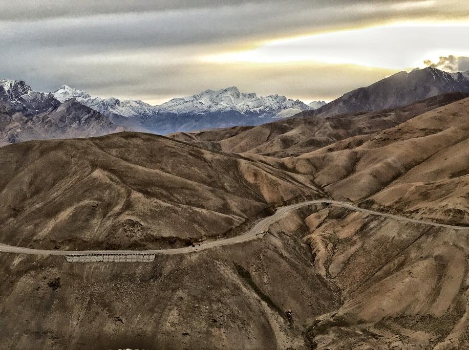
Namika La and Fotu La: the long middle between Kargil and Leh
These two passes are part of the classic Kargil–Lamayuru–Leh journey. Namika La is the quieter crossing; Fotu La is the highest point on the Srinagar–Leh highway. Their importance is not that travellers make a special expedition to either one. They are the geography of the road itself.
This is also where a Ladakh road trip begins to teach an important lesson: distance on the map is not travel time. Construction, convoy movement, weather, stops and the cumulative effect of altitude can turn a seemingly modest distance into a full day.
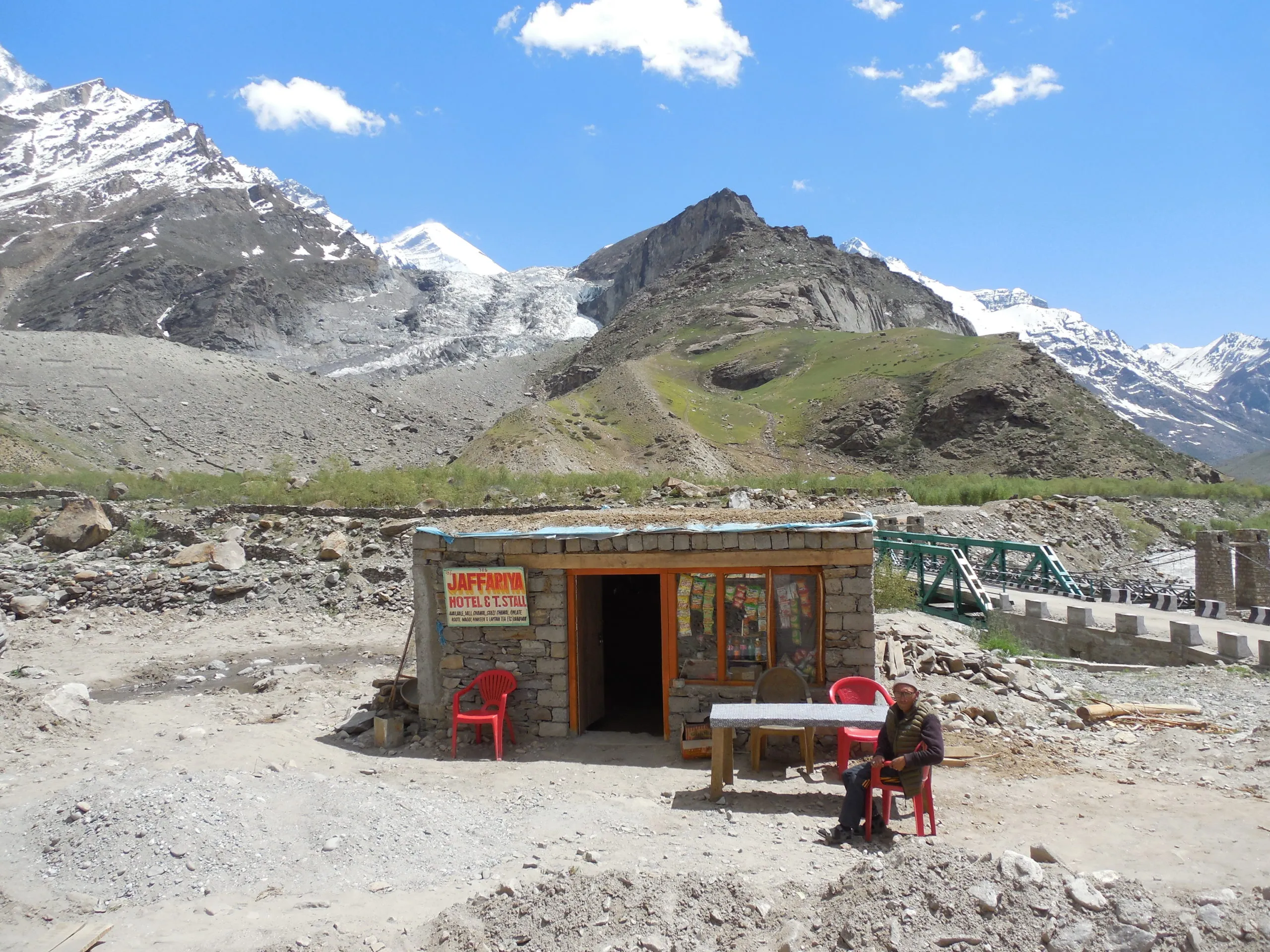
Khardung La: Leh to Nubra, famous for the wrong reason
Khardung La is still one of Ladakh’s most recognisable passes, but “world’s highest motorable road” is no longer a useful description. Its real importance is geographic: it is the classic road crossing from Leh into Nubra Valley.
The pass is high enough that a long summit stop is rarely a good idea. Take the photograph, notice how your body feels, and descend toward Nubra rather than treating the top as a picnic site. What matters is arriving well in the valley, not collecting minutes beside a signboard.
Wari La: the alternative Nubra crossing worth understanding in 2026
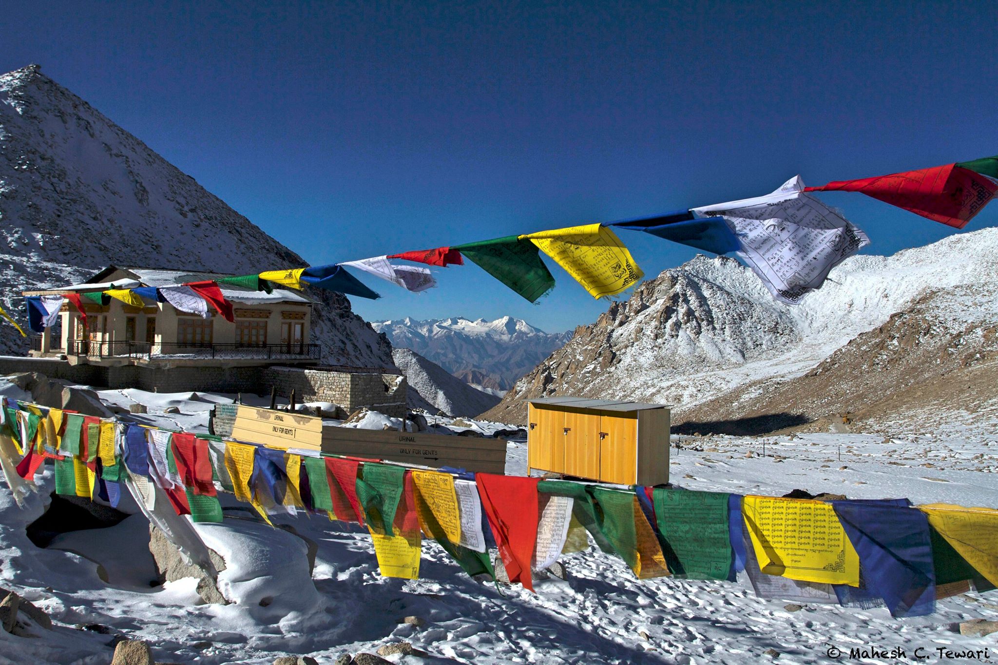
Wari La is different. The road links the Sakti side with Agham and Nubra, creating an alternative to returning through Khardung La. In September 2025 the Ladakh administration publicly highlighted Wari La’s tourism potential and described the pass as a road of more than 17,000 ft connecting Leh with Nubra Valley.
That does not mean it should be treated as a casual shortcut. Wari La has historically been quieter and more conditional than the main Khardung route. Surface conditions, seasonal access and the suitability of a vehicle should be checked locally. For a well-planned circuit, however, it changes the shape of the map: Nubra, Sakti and the Pangong side no longer have to feel like separate spokes returning to Leh.
Chang La: the classic road toward Pangong
Chang La is the high crossing most visitors associate with the Leh–Tangtse–Pangong route. The road is popular, but popularity does not reduce altitude. Cold, wind and rapid weather changes can make the top feel harsher than the sunny photographs suggest.
Do not let a destination such as Pangong make the pass invisible. The hours spent climbing and descending are part of the day’s altitude load.
The Manali–Leh chain: several high passes, not one summit
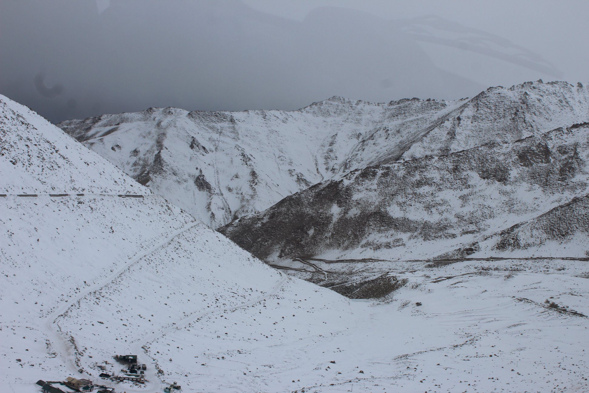
The Manali approach is often described as a road trip, but physiologically it is a sequence of high exposures. Baralacha La, Nakee La, Lachulung La and Tanglang La arrive one after another, with high sleeping areas and long distances between major settlements.
Baralacha La
Baralacha La lies on the approach from Lahaul toward Sarchu. Weather is the defining variable: snow, wind and water on the road can change the pace quickly. It is a pass where an early start and flexible expectations matter more than an ambitious kilometre target.
Nakee La and Lachulung La
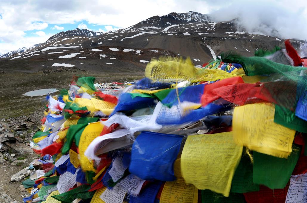
Nakee La is sometimes omitted from popular “top pass” lists, which is exactly why it belongs in a useful road guide. Together with Lachulung La, it forms part of the long high section between Sarchu and Pang. The difficulty is cumulative: you are not simply crossing one summit and descending to low country.
Tanglang La and More Plains
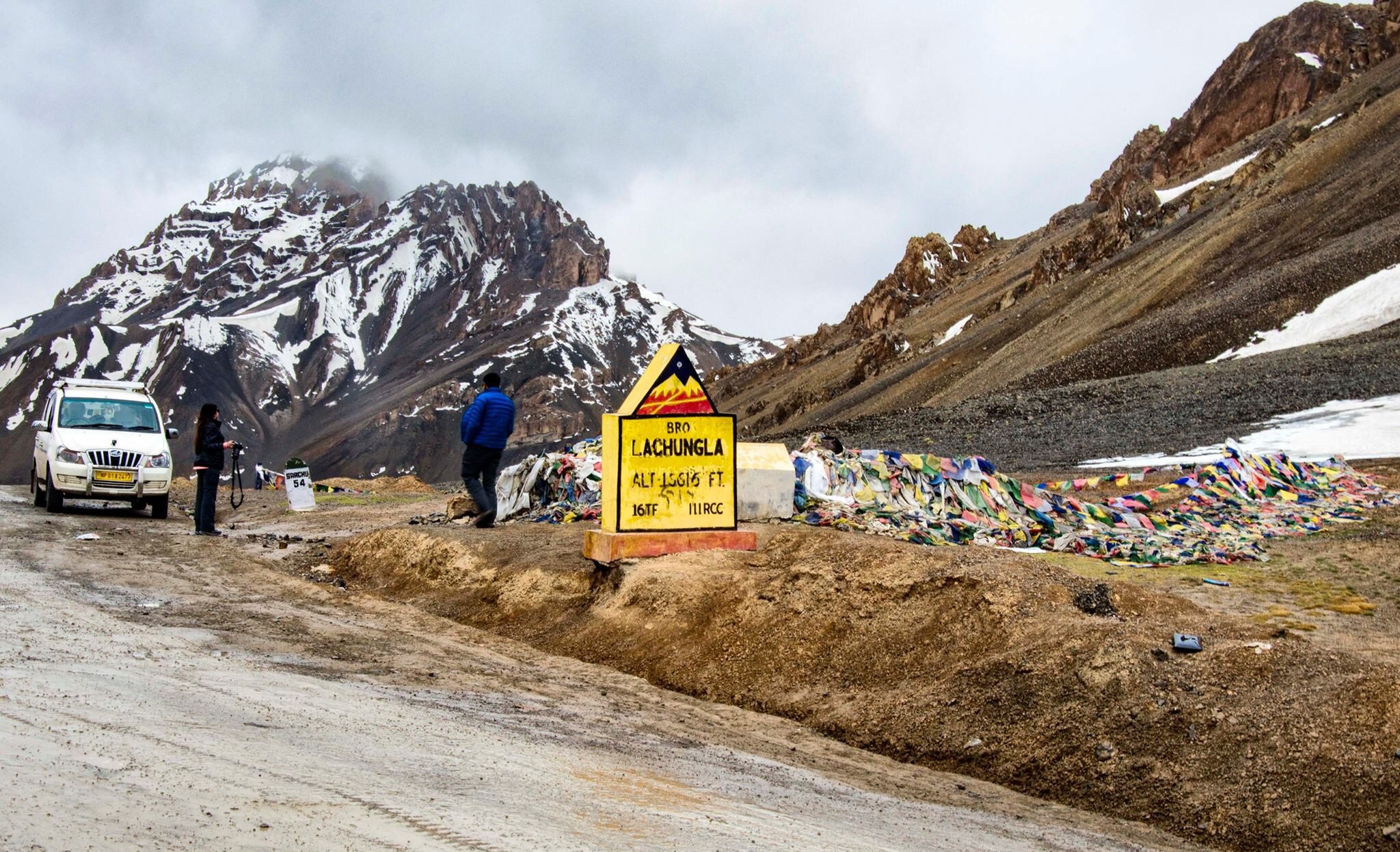
Tanglang La is the final major high crossing before the road settles toward the upper Indus Valley and Leh. The broad More Plains can make the landscape look easy, but they remain high, exposed and remote. Fuel range, tyres, warm layers and an unhurried schedule matter here.
Pensi La: the Suru–Zanskar threshold
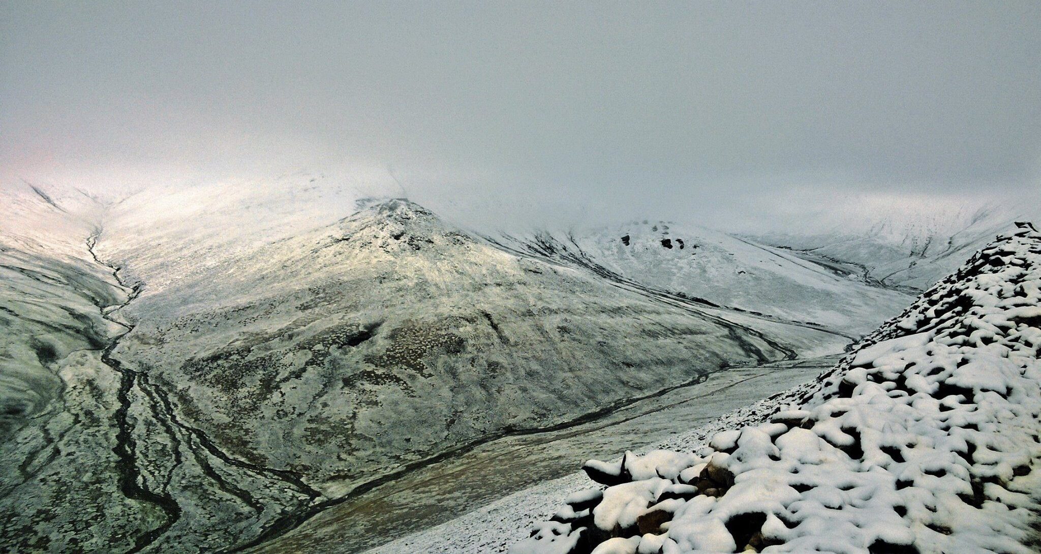
Pensi La belongs to a different road story. It is the traditional high gateway on the Kargil–Suru–Rangdum–Padum route, with the Drang-Drung Glacier close to the pass. Crossing it feels less like ticking off a summit and more like entering another geographic basin.
Zanskar’s road network has changed rapidly, and today there are additional approaches to the region. Pensi La still matters because it explains the old logic of the Suru route and the relationship between Rangdum and the Zanskar valley. If you travel this way, give the road a full day’s patience rather than judging it only by kilometres.
Umling La: still extraordinary after the record moved
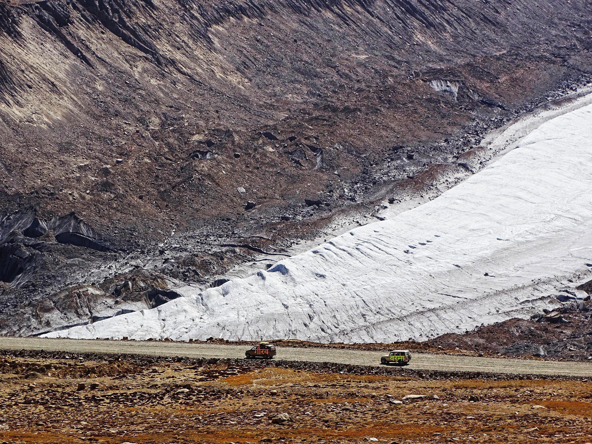
Umling La remains extraordinary at 19,024 ft (5,799 m). The change in the world record does not make the road lower, easier or less serious. It is an extreme-altitude journey in eastern Ladakh where acclimatization, current route permissions, weather and local information all matter.
For travellers based around Hanle, the correct question is not “Can our vehicle reach the sign?” It is “Is this route currently open to us, is everyone properly acclimatized, and what is our descent plan if someone feels unwell?”
Permits and restricted routes
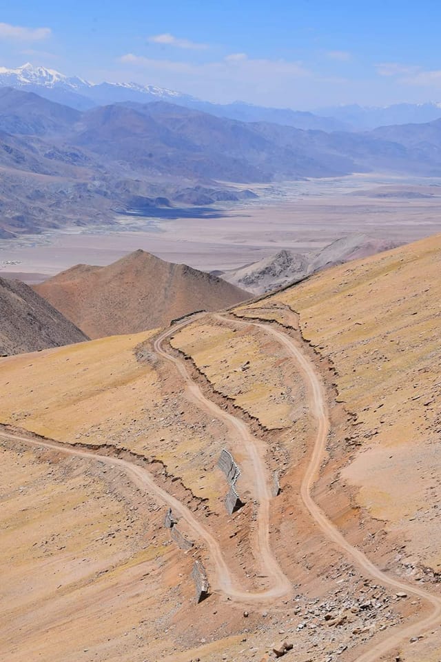
Permit requirements in Ladakh are not identical for every traveller, nationality or route, and border-area rules can change. This is especially important around parts of eastern Ladakh. Do not assume that because a road exists on a map, or because another traveller reached it last season, it is automatically open under your current documents.
Foreign visitors should check the current Protected Area Permit and restricted-area framework before building an itinerary around Nubra, Pangong, Hanle or remote Changthang roads. LOTPL keeps a separate current guide here: Ladakh Permit 2026 for Foreigners.
At checkpoints, keep identification and permit copies accessible and follow photography restrictions. In remote border country, local confirmation on the day is more valuable than an old blog post.
Acclimatization: the pass is not the place to discover you rushed
Ladakh’s official tourism advisory currently tells visitors arriving in Leh to allow at least 48 hours of acclimatization before travelling to higher-altitude areas. That is a sensible minimum framework, not a guarantee that everyone will feel the same.
Altitude illness is not a fitness test. A strong trekker can feel unwell; a slower traveller may feel fine. Severe headache, confusion, unusual breathlessness, worsening nausea or loss of coordination are reasons to stop ascending and seek medical help. On a road journey, descent is often the most useful response to worsening altitude symptoms.
For ordinary pass crossings, the habits are simple: keep the first days conservative, drink regularly, avoid unnecessary exertion at summits, keep warm layers within reach and make high stops short.
Road season: why “open” never means guaranteed
There is no single opening date for “the passes of Ladakh.” Zoji La, the Manali approach, Pensi La, Wari La and remote eastern roads respond differently to snow, maintenance and operational restrictions. Even in the main summer season, a landslide, cloudburst, snowfall or road repair can change a day.
For this reason, use seasonal articles as planning tools but verify the road close to departure. Local drivers, police advisories, the Border Roads Organisation and district authorities are more useful for today’s road than a fixed opening-date table copied from last year.
How to build a route around the passes
For a first Ladakh road journey: acclimatize in Leh, then think in valleys rather than pass trophies. Khardung La belongs to a Nubra journey. Chang La belongs to the Pangong approach. Wari La can become an alternative circuit only when road conditions and the vehicle make sense.
For an overland arrival from Srinagar: Zoji La, Namika La and Fotu La form a natural progression through Kargil and western Ladakh.
For an overland arrival from Manali: Baralacha La, Nakee La, Lachulung La and Tanglang La create a much higher chain. Do not compress the route simply because the road surface has improved.
For Zanskar: Pensi La explains the classic Suru route, while newer road connections mean the valley is no longer defined by a single entrance.
For far eastern Ladakh: Umling La—and the new Mig La record story—belongs in the category of extreme-altitude, border-sensitive travel. Verify access rather than treating it as an automatic extension of a Pangong circuit.
The local rule: a pass is a connector, not a trophy
The strongest way to understand Ladakh’s passes is to ask what lies on the other side. Khardung La matters because there is Nubra. Chang La matters because the road opens toward Tangtse and Pangong. Pensi La matters because Suru tips into Zanskar. Wari La matters because it can redraw a circuit between Sakti and Agham.
The summit sign is only a few minutes of the journey. The real Ladakh is the road before it, the valley after it, the people who maintain the crossing, and the decision to turn back when the mountain or the rules say not today.
FAQ
What is the highest motorable road in Ladakh in 2026?
Government of India BRO material published in 2026 identifies Mig La at 19,400 ft as the new world record, surpassing Umling La at 19,024 ft. Tourist access is a separate question and must be verified under current local restrictions.
Is Khardung La the highest motorable pass in the world?
No. The old Khardung La superlative is outdated. Khardung La remains one of Ladakh’s most important tourist crossings because it connects Leh with Nubra Valley.
Which pass is on the road from Leh to Pangong Lake?
Chang La is the classic high pass on the Leh–Sakti–Tangtse–Pangong route.
Which pass connects Leh with Nubra Valley?
Khardung La is the main classic route. Wari La provides an alternative connection between the Sakti side and Agham/Nubra when road conditions and access permit.
Which passes are on the Manali–Leh road?
The high-pass chain includes Baralacha La, Nakee La, Lachulung La and Tanglang La, with long high-altitude sections between them.
Do I need permits for every Ladakh pass?
No single rule applies to every pass and traveller. Requirements depend on nationality and destination, especially in protected or restricted border areas. Check current rules before travel rather than relying on an old itinerary.
Sources and freshness
This guide was updated on 5 September 2026. Consequential current claims were checked against official sources, including the Government of India’s 2026 Border Roads Organisation infrastructure material for the Mig La record, the UT Ladakh administration’s Wari La tourism update, and Ladakh Tourism’s current acclimatization and travel advisories. Because road openings and restricted-area access can change faster than an article can, verify operational conditions again close to departure.
By Sidonie Morel for LIFE on the PLANET LADAKH — local road knowledge, checked against current official sources.

 sagi
sagi